Unmanned Aerial Services
It is not just large clients and multi-million dollar projects taking advantage of aerial surveying. We have provided surveying services like this to small clients throughout New Mexico. We can offer the following
key benefits:
- Increased accuracy – Ground control points are combined with aerial data providing extremely accurate and reliable results.
- Improved data that provides more client options – Small Unmanned Aerial System (sUAS)cameras take a series of high-definition photos at different angles, creating millions of data points. This allows us to create high-resolution orthomosaics, as well as 3D models of a site or building.
- Saved time – Large sites or long streets and roads can be surveyed much faster with a sUAS, saving time and money for clients.
- Improved graphics and videos – Visuals matter. The videos and photos from our sUAS’s are a great resource during public outreach related to all kinds of projects.
Why Choose UAV
Our certified UAV operators control the process of data capture, analysis, and archival from end to end.
The UAV difference:
- Up to 6 square miles a day
- Faster turnaround of data
- Orthomosaic & Point Cloud Data
- Reliable view of your Environment with HQ Maps
- Easily Detect Change and Monitor Progress

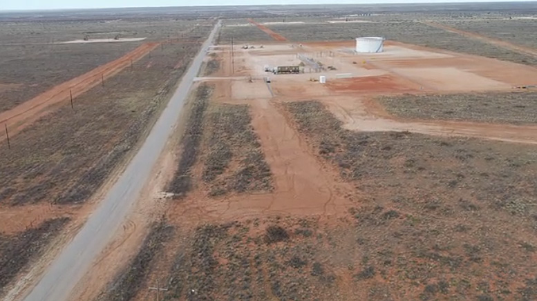
Click on the Aerial Image to launch Video.
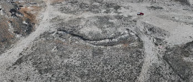
Click on the Aerial Image to launch Video.